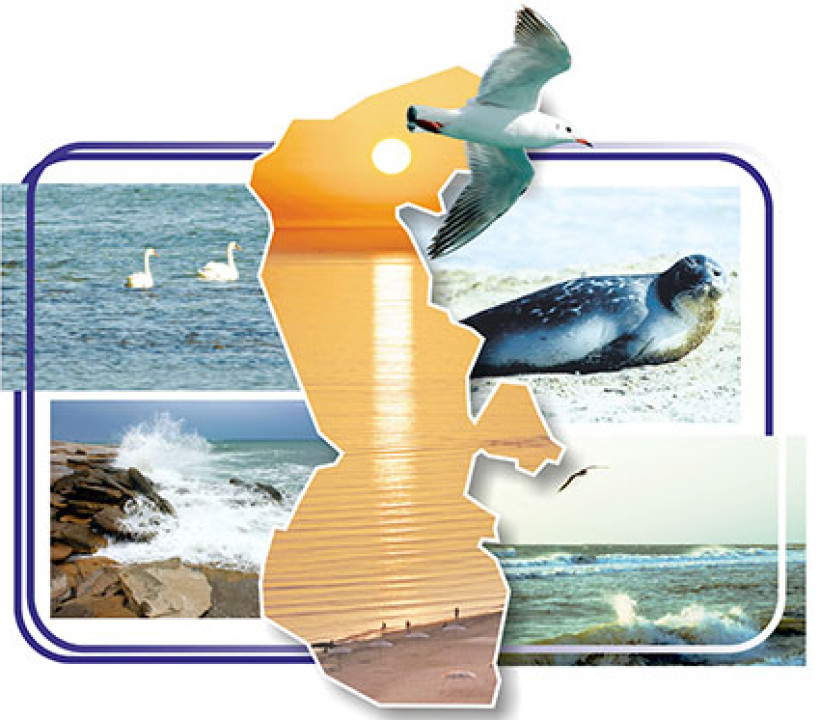
Koytendag – a region of unique natural and landscape diversity
Koytendag is a region located in the southeast of Turkmenistan, which is characterized by a unique natural environment. The nature of Koytendag is characterized by hundreds of species of plants and animals, steep valleys, unique mountain caves and underground karst lakes, and the high plateau of ancient dinosaurs. Nature has created invaluable values in this region over the millennia and has been passed down from time immemorial to the present day.
The territory of the Koytendag region extends parallel to regional faults, which has determined the morphostructural uniqueness of the region and is known in the scientific literature as Govurdak-Koytendag. Although its area is not large, the relief is sharply differentiated, i.e. the highest point varies from 3137 m above sea level (Turkmenbashi Dagy) to 238 m (the level of the water of the Amu Darya) and is characterized by a wide variety of natural conditions and resources. This region has great potential for the development of its mineral resources, land, health and recreation resources. The geological structure of the region is formed by geological deposits of various genesis, composition and age.
Upper Jurassic, Cretaceous, Paleogene, Neogene, Quaternary and modern sediments are widespread here. The western slope of the Koyetnadg ridge, as well as the Govyrdak and Tubegatan mountain ranges are composed of Upper Jurassic sediments. Rocks of the Cretaceous period cover the low mountains of the central part of the region, and Paleogene and Neogene sediments cover mainly the plateau-shaped low mountains of its western part. Quaternary sediments are widespread in the western and southern parts of the region, forming vast mountain plains.
The vegetation cover of Koyteng is characterized by grassy phytocenoses at the foot of the mountains, and above them a belt of heavily degraded woody and shrub vegetation dominated by the Zeravshan juniper. In the highest, steep part of the mountains, thorny cushion-shaped semi-shrubs dominate. Representatives of the region are dominant.
Previously, vast areas of juniper forests, consisting mainly of Zarafshan juniper, were found in Koytendag, but now their area has significantly decreased. Within the territory of the reserve, they have been preserved in the form of patchy forests. The creation of the Koytendag State Reserve with an area of 27,139 hectares in 1986 was associated with the need to protect the entire natural complex of Koytendag and adjacent areas, develop a scientific basis for the restoration of damaged ecosystems, and preserve the twisted-horned hornbeam.
This species is very rare and is included in the Red List of the International Union for Conservation of Nature (IUCN). According to the differences in the characteristics of the soil and vegetation cover within the zones, 12 altitudinal zones are distinguished: oasis, grassland, desert-ephemeral, semi-desert-ephemeroid, semi-desert-arid steppe, large-grass steppe, forest, forest-meadow steppe, subalpine meadow and alpine meadow. When Central Asia is divided into physiographic regions, the territory of this region is included in the Igissaro-Pamir province of the South-Western Pamir-Alai region of the Central Asian mountainous country at the level of physiographic regions. The large differences in the landscape composition of the Govurdak-Koytenag district allow the division of lower-level taxonomic units - sub-districts - within its boundaries. It was divided into 7 sub-districts in total: Koytendag-mid-mountainous, Govurdak-Tyubegetan low-mountainous, Koytendarya-mountainous-valley, Kansai-delta-takyr, Amu Darya-mountainous-sloping plain-chulbali, and Amu Darya-valley-terrace sub-districts.